

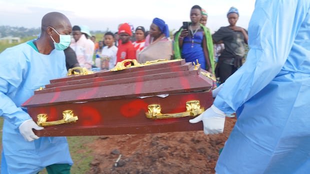

Health officials in eastern Democratic Republic of Congo are utilizing anonymized mobile-phone data to track population movements and pinpoint potential areas where the Ebola virus could spread next, as reported by the World Health Organization (WHO) and collaborating researchers. This innovative approach, unprecedented in Ebola responses, is being employed amidst the challenges of containing what WHO has labeled as the fastest-growing Ebola outbreak in history. With confirmed cases across six provinces and over 6,250 individuals affected, the outbreak, caused by the Bundibugyo strain of Ebola, has resulted in 3,039 fatalities since its declaration on May 15.
In light of the escalating crisis, health authorities are keen on predicting potential outbreak sites and efficiently allocating surveillance and response resources. Olivier Le Polain, who heads epidemiology and analytics for response at WHO Health Emergencies Programme, emphasized the significance of considering population movements in epidemic management, particularly in the current context. While conventional risk assessments focus on outbreak epicenters and neighboring regions, analyzing mobility data allows for the identification of risks in geographically distant yet interconnected areas through travel patterns.
An example highlighted by Le Polain is the Ituri province, where significant population movements associated with mining activities and trade have been observed. Understanding these movements is crucial for comprehending the outbreak’s transmission dynamics. The analysis, conducted by the Swedish non-profit Flowminder, utilizes anonymized data generated when mobile phone users connect to telecommunication networks. By tracking these connections, researchers estimate the travel patterns of individuals across different regions, aiding in predicting the movement of potentially infectious individuals.
Flowminder’s initial analysis, released in early June, focused on outbreak origins in Bunia, Mongbwalu, and Rwampara, revealing substantial travel flows to nearby areas in Ituri and North Kivu provinces. By the end of June, all top ten destinations receiving the highest number of travelers from these initial outbreak areas had confirmed Ebola cases. As the outbreak extended beyond its initial epicenter, Flowminder expanded its analysis to other affected regions to identify potential travel patterns and at-risk locations.
Kisangani, a significant transport hub connecting eastern and western Congo, emerged as a location of concern due to its high travel influx. This prompted intensified operations in Kisangani to curb potential spread. Recent studies have also highlighted connections between Kisangani, Kinshasa, settlements along the Congo River, and regions bordering Central African Republic and South Sudan, emphasizing the risk of spread to Congo’s capital and largest city.
Despite providing valuable insights, the analysis using Congolese mobile phone network data has limitations, such as only offering a partial view of international border movements and relying solely on Vodacom’s data. Efforts are underway to collaborate with other telecom operators to enhance coverage and obtain more comprehensive data for improved outbreak response.