

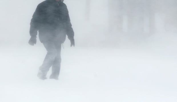

A significant autumn storm is approaching northern Manitoba, with Environment Canada forecasting rain that will turn into heavy, wet snow, bringing accumulations of 15 to 25 centimetres. The storm is set to arrive on Friday evening and persist throughout the weekend, affecting a wide region from Brochet to Churchill, including Tadoule Lake, Lynn Lake, Leaf Rapid, and Pukatawagan as highlighted in a special weather statement.
Before the transition to snow, rainfall amounts ranging from 20 to 40 millimetres are expected, briefly transitioning into freezing rain. The heaviest snowfall is predicted in Brochet and Tadoule Lake areas. Strong winds up to 90 km/h are also anticipated, leading to reduced visibility due to blowing snow.
Conditions are projected to improve by Sunday as the snowfall decreases and winds calm down according to the weather alert. Meanwhile, in southern Manitoba, residents can expect a brief return of summer weather at the end of the week with highs reaching 20°C on Thursday and 22°C on Friday. Winnipeg’s humidex on Friday may make it feel more like 25°C.
However, the warm temperatures will be accompanied by strong winds gusting between 40-60 km/h on Friday afternoon. Following this brief warm spell, temperatures are expected to drop back to more seasonal levels next week, closer to the average high of 7°C for this time of year.