

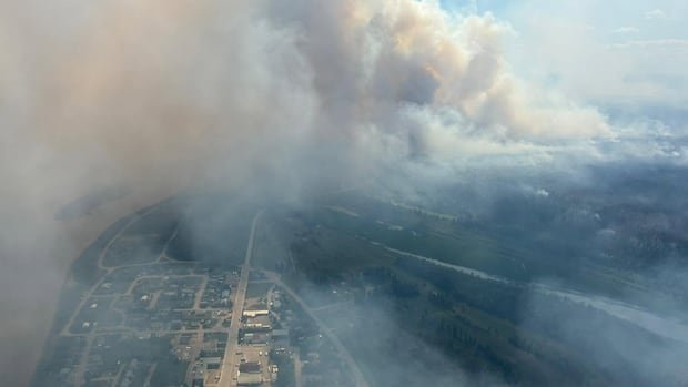

Roland Schigas and his team at the Blue Sky Canada project are diligently working on analyzing wildfire smoke patterns. As the program manager and system administrator for the Weather Forecast Research Team at the University of British Columbia, they are the brains behind firesmoke.ca, an interactive map tool showcasing the impact of wildfire smoke on air quality.
Their work involves modeling the growth of fires, considering factors like precipitation, emissions, and the dispersion of smoke particles in the atmosphere. The website is updated four times daily with animated projections illustrating the movement of smoke. Wildfire smoke primarily comprises PM 2.5 particles, which are less than 2.5 micrometers in diameter, making up a significant portion of emissions from wildfires according to the World Health Organization.
Mike Westwick, an N.W.T. fire information officer, emphasizes that smoke doesn’t always indicate nearby fires, as it can travel vast distances due to factors like fuel, wind, and atmospheric conditions. Different fuels can produce varying amounts and qualities of smoke, with wind playing a crucial role in dispersing it. The atmosphere, particularly the troposphere, influences the movement and intensity of smoke, with some fires even reaching the stratosphere, creating unique weather phenomena.
Westwick suggests utilizing tools like FireSmoke and windy.com for reliable wildfire smoke forecasts, though he notes that forecasts may change due to the unpredictable nature of wildfires. Stay informed and prepared by utilizing these tools regularly.