

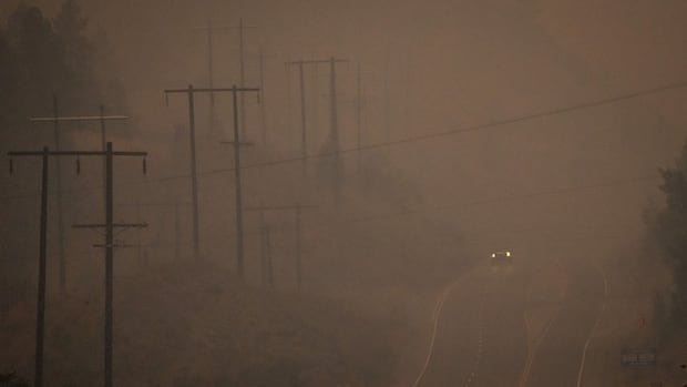

The most recent updates include the reopening of Highway 97 between Penticton and Peachland, passing through Summerland, with limited operational hours. As of Thursday morning, approximately 18,900 individuals were under evacuation orders, and about 10,000 more were on evacuation alert throughout British Columbia.
The Quilpituk Creek fire located north of Kelowna is now under control by firefighting crews, indicating that it is anticipated to remain contained within its existing boundaries. While preparations for re-entry are advised for evacuees from this fire, evacuation orders remain in effect.
In response to the escalating Bald Range wildfire near Summerland, British Columbia’s premier has committed to evaluating the province’s emergency response strategies. This wildfire has expanded overnight to cover 191 square kilometers and continues to burn uncontrollably in the vicinity of Summerland.
Highway 97 has been reopened for travel between Peachland and the Pyramid Picnic Area in Kickininee Provincial Park, but with restricted hours from 7 a.m. to 7 p.m. PT daily for through-traffic only. Additional road closures, such as Highway 1 north of Hope and Highway 97 north of Cache Creek, remain enforced.
Elsewhere, the Ainslie Creek wildfire’s northeastern edge, which spans approximately 616 square kilometers near Boston Bar, is posing a threat close to Highway 8. Firefighters are stationed around the clock to prevent the blaze from impacting the highway and structures in the Nooaitch Indian Band reserve.
Amid the numerous wildfires in British Columbia, primarily concentrated in the southern region, the Pear Lake wildfire near Clinton remains the largest, covering an estimated area of 1,568 square kilometers. While evacuation orders persist for the fire north of Kelowna, cooler weather conditions and increased humidity are anticipated on Thursday and Friday.
The Bald Range wildfire near Summerland has surged to around 191 square kilometers, prompting evacuations and property destruction. Officials are conducting assessments to determine the extent of the damage, emphasizing the need for patience. Premier David Eby highlighted the unprecedented growth rate of the fire, suggesting a potential shift in fire dynamics that emergency services will consider while reviewing response protocols.
Penticton Indian Band Chief Greg Gabriel emphasized the importance of Indigenous involvement in addressing and mitigating the root causes of wildfires, attributing the increasing incidents to human activity and climate change effects.
In Squamish, due to prevailing dry conditions and heightened fire risks, vehicle access to the Skwelwil’em Squamish Estuary via Bailey Street has been restricted. Unauthorized entry has been banned to mitigate wildfire threats to the community. Squamish Fire Rescue Chief Aaron Foote expressed concerns over the fire conditions in the Sea-to-Sky region, noting the uptick in illegal campfires and off-road vehicle bans on Crown land for recreational purposes across various fire centers, including the Coastal Fire Centre.