

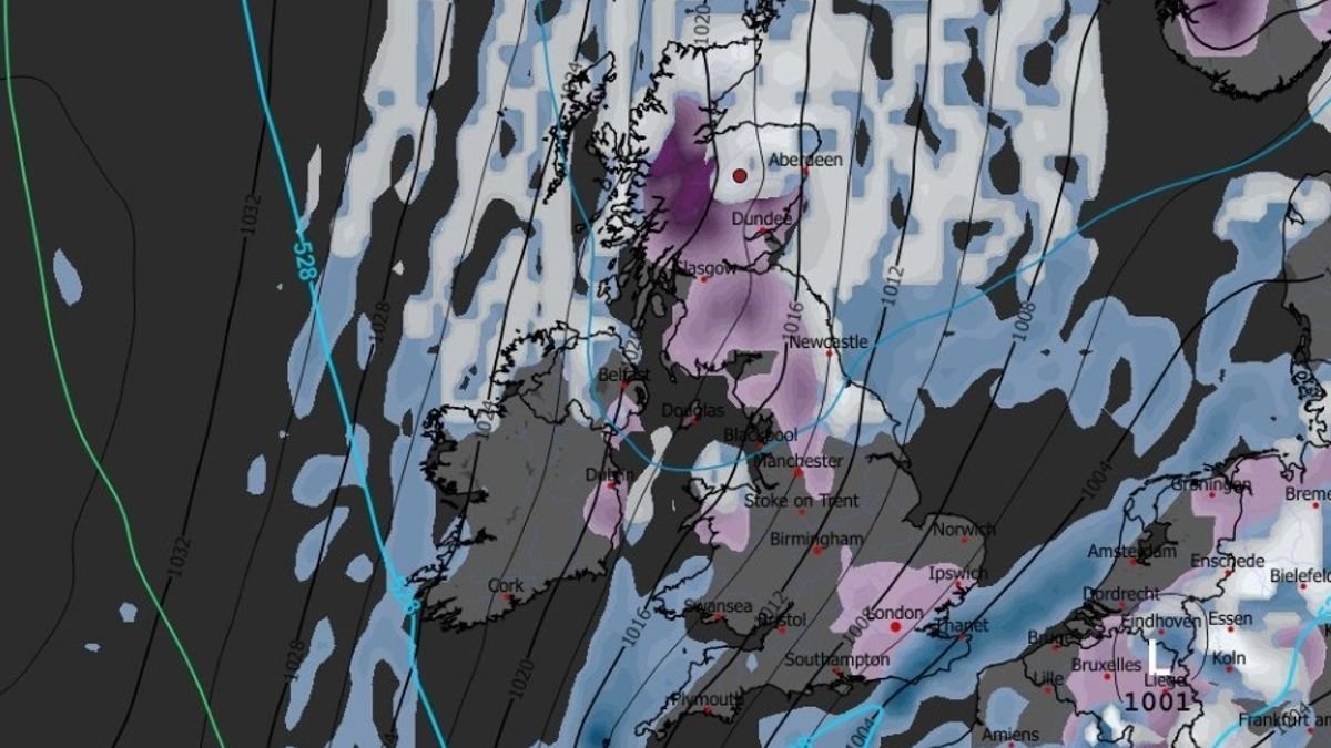

Recent advanced weather modeling indicates an incoming snowstorm approaching the UK, expected to impact various major cities, potentially including London.
According to the GFS weather model maps, snow is forecasted to traverse Scotland on Tuesday afternoon, affecting Glasgow and Edinburgh before progressing southward to northern England. The snow is then projected to continue its southward journey into Wednesday morning, impacting Northern Ireland, Wales, the Midlands, and even the south-east of England.
Snow coverage maps for Wednesday afternoon illustrate snowfall settling in London, Ipswich, Greater Manchester, Newcastle, Glasgow, Edinburgh, Dundee, and Aberdeen, among other locations.
The widespread snow is expected to diminish by Thursday, although the GFS weather model predictions suggest some lingering flurries in the North York Moors, the north-east of England, and the north-east of Scotland.
Data indicates the possibility of up to 18cm of snow settling on high ground in Scotland, while the Pennines in England may experience accumulations of up to 9cm. Major cities and towns are likely to see snow accumulations of less than 1cm if it settles.
BBC Weather forecasts “wintry showers” in various areas throughout the week. The outlook for Tuesday to Thursday suggests showery rain spreading south-eastwards on Tuesday, with wintry conditions expected, especially in northern hill areas.
Netweather forecaster Nick Finnis anticipates dry and sunny but chilly conditions on Monday, with showery rain turning to sleet and snow over northern high ground on Tuesday and early Wednesday. Wednesday and Thursday are expected to be even colder, with wintry showers near coasts but mostly dry and cold inland, with temperatures possibly ranging from 3-6°C.
The Met Office warns of cold and snowy weather ahead, with Deputy Chief Meteorologist Dan Holley highlighting a northerly flow from the Arctic causing colder conditions and a risk of wintry hazards such as snow and ice across the UK. Widespread frosts are expected, with temperatures potentially dropping as low as -7°C in some areas next week.
There will also be a notable wind chill due to a brisk northerly wind, marking a significant change in weather following a period of above-average temperatures.